Satellite Data to Support Ice Cover Monitoring on the Rivers

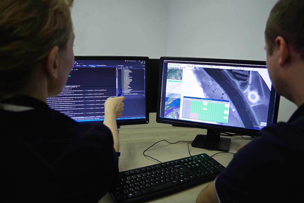
Polish engineers have created a rivers ice-cover monitoring system, utilizing the data derived from EO satellites. Its task is to deliver information on the current situation pertaining to the ice cover that finds itself on the rivers. This would also expand the range of available flood prevention measures. The aforesaid solutions have been designed by Astri Polska, within the scope of the EO4EP project implemented for the European Space Agency and for the World Bank. The project has been finalized at the beginning of October. This happened through handing off of an operational service. Currently talks are in progress, concerning the option of implementing the solution in question in Poland.
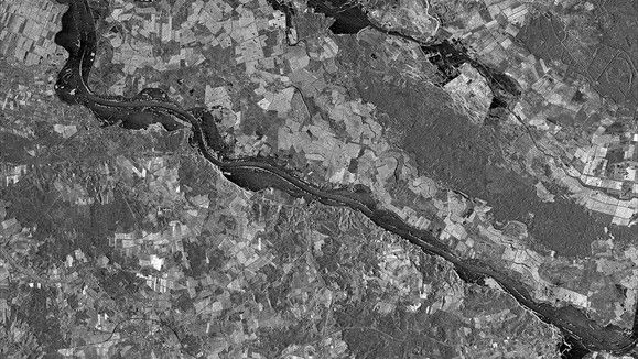
Ice jams on the rivers are one of many causes of floods in Poland, during the wintertime. Thanks to the use of satellite radar data, the services and institutions responsible for the water management now can have river-related data at their disposal, with regards to the specific area. The data is going to become available shortly after capturing the imagery and regardless of the prevalent weather conditions. River ice-phenomena monitoring system developed by Astri Polska delivers ice cover information, dividing it into 3 different classes. The user can generate ice-reports based upon the formatting of similar documents used by the Regional Water Management Authorities.
Our system’s use of the free-of-charge data, derived from the European “Copernicus” satellite EO programme is its major advantage. Thanks to the above the user does not bear extra costs stemming from gathering of the new data. Furthermore, the accuracy of gathered data reaches up to 90% which means that the presented data is credible.
The analysis may be carried out with a high degree of accuracy for rivers wider than 60 meters which is enough to monitor the main Polish rivers, including: Vistula, Odra, San, Bug, Narew or Pilica. At the moment talks are in progress, concerning implementation of the system in Poland. The system may be further developed and should a need emerge to monitor smaller rivers, it may also use high resolution commercial data derived from TerraSAR-X/TanDEM-X satellites.

Astri Polska has developed a system for monitoring the ice cover of the rivers within the scope of the EO4EP (Earth Observation for Eastern Partnership) initiative led by ESA. The goal of the aforesaid project is to increase the degree to which satellite data is used, within the framework of the projects conducted by the World Bank and by the European Investment Bank in the Eastern Europe. The goals of the projects have been completed through development of specialized tools utilizing free-of-charge data from the Sentinel satellites, destined for the governmental agencies responsible for water management and agriculture. Poland has found itself in the group The EO4EP consortium involved: Crisis Information Centre (CIK) of the Earth Observation Group in Space Research Centre of Polish Academy of Sciences (leader), GeoSystems, GeoPulse, Astri Polska, GISAT; support was provided by the Polish Center for International Aid.
