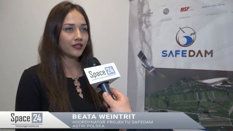
SAFEDAM Project Coordinator: Both Commercial High Resolution As Well as Freely Available Data Expected to Be Utilized
“The satellite segment plays an incredibly relevant role in the SAFEDAM project, since satellite imagery will be utilized in two system configurations, both in the preventative, as well as in the intervention mode”, states Beata Weintrit, in her interview for Space24.pl. Beata Weintrit is the coordinator of the SAFEDAM project at Astri Polska.
If only a new image emerges for a given area of interest, imagery as such is downloaded, automatically processed, and the user receives the current reach the water has (...). In case of a flood, the firefighters will have up to date data available, as to where the water is present and where the threat has not emerged yet.
In case of the SAFEDAM initiative, Astri Polska remains responsible for the heart of the project, the IT system. The IT System integrates all of the components. There the data derived from a variety of sources is being collected: from the satellite, aerial segments, measurement platforms and other databases. (...) And on the basis of the data above, the embankments’ status is assessed and the level risk of failure is assessed.